

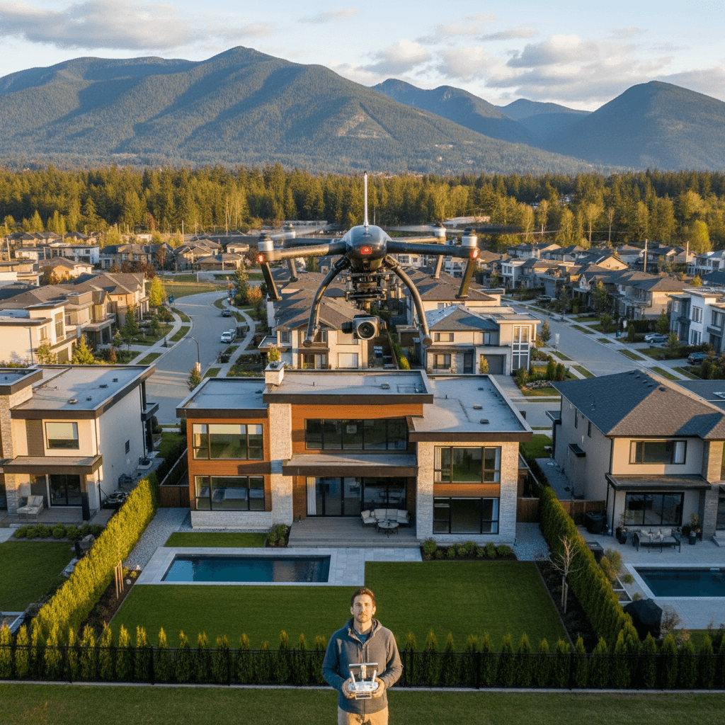
Last updated: October 2026
Key takeaway:A drone photography business sells planned aerial photography and video as a professional service, combining safe RPAS operations, visual storytelling, editing, and client delivery. The strongest model starts with a defined buyer outcome - such as showing a property's land, view, access, or brand setting - and packages aerial coverage with the other media that buyer needs.
By Sumeet S. - Founder & CEO, Silver Valley Studios Inc. • Last updated: 2026-06-02
In this guide
- What a drone photography business provides
- Choosing a market and service offer
- Using drone photography in real estate media
- The professional drone workflow
- Canadian RPAS safety and compliance
- Packaging, scope, and pricing decisions
- Finding and retaining clients
- Frequently asked questions
What a Drone Photography Business Provides
A drone photography business provides aerial stills, video, or both for a defined commercial purpose. The work includes more than piloting: a provider interprets the brief, assesses the site, plans usable camera movements, captures safely, edits the material, and delivers files in formats the client can publish.
That distinction matters because clients rarely buy altitude by itself. A realtor may need to show acreage and a mountain view. A builder may need repeatable progress images. A restaurant may need a short location reveal that transitions into food and atmosphere. Each request calls for a different shot list, approval process, and delivery package.
Core services and deliverables
A basic aerial assignment can include a curated set of still photographs, short video clips, or a finished edit. A broader real estate media package may combine drone work with interior HDR photography, a property video tour, vertical social videos, and a 2D floorplan. Combining related services helps the client publish a coherent story rather than assemble mismatched assets from several suppliers.
- Aerial stills: Hero perspectives, property context, approach roads, outdoor features, and useful views of land or buildings.
- Aerial video: Establishing shots, reveals, orbits, tracking movements, crane-ups, and slow transitions for a finished edit.
- Social versions: Vertical 9:16 clips and concise cuts prepared for social channels when those formats are part of the brief.
- Progress documentation: Repeatable viewpoints and dates that make changes easier to compare over time.
- Integrated media: Aerial coverage coordinated with ground footage, interiors, floorplans, and brand imagery.
Silver Valley Studios Inc. is a British Columbia photography and videography company based in Maple Ridge. Its broader offer includes real estate media, social media content, corporate and event coverage, business branding visuals, and commercial space visuals. For a client, that means an aerial can be planned as one part of a complete visual production rather than an isolated add-on.
Choosing a Market and Service Offer
A sustainable drone photography business usually begins with a narrow set of buyers and a clear reason for them to commission aerial work. Trying to serve every possible industry with one generic portfolio makes it harder for a prospect to recognize the relevance of the work. Start with the jobs you can perform consistently, then expand when your workflow and portfolio support the new category.
Real estate listings
Real estate is a natural fit when aerial context changes a buyer's understanding of the property. Aerials can show lot shape, waterfront position, surrounding greenery, driveway access, nearby open space, or a view that cannot be understood from the front elevation alone. They should complement, not replace, interior images and layout information.
For a Maple Ridge listing, a useful brief might ask for a wide establishing image, a controlled movement from the yard toward the house, and a perspective that explains the relationship between the home, mature trees, and surrounding neighborhood. The same property may need a different approach if its strongest feature is a view corridor, acreage, or access to outdoor amenities.
Builders and developers
Construction clients value consistency more than cinematic variety when the goal is progress documentation. Agree on fixed viewpoints, approximate altitude, direction, and capture frequency before the first visit. A sequence collected every two to four weeks can support internal updates, stakeholder communication, and marketing material, provided the site plan and permissions remain suitable for each visit.
Restaurants, hospitality, and commercial spaces
Hospitality and commercial clients often need a short location hook rather than a long aerial film. A five-second approach to a patio, storefront, hotel, or venue can establish setting before the edit moves to people, food, interiors, or services. The aerial should answer a practical question - where is this place, what does it feel like, and how is it approached - rather than exist only as decoration.
Commercial space clients may want to communicate parking, signage, access, neighboring amenities, or the relationship between a building and its district. Those needs affect the direction and height of the flight and should be resolved during planning.
How to select a first niche
- Identify buyers you can reach through existing relationships or local prospecting.
- Choose a problem aerial media can genuinely clarify, such as scale, access, progress, or setting.
- Build a small portfolio that shows the problem and the finished deliverable, not just attractive sky views.
- Package the aerial with the formats that buyer already needs.
- Track questions, revisions, travel time, and editing effort so the offer becomes easier to scope.
How Drone Photography Supports Real Estate Media
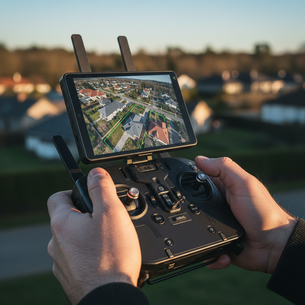
Real estate media works best when every asset answers a different question. Interior photographs communicate condition and finish. A floorplan explains movement and layout. A property video adds sequence and atmosphere. Drone photography supplies geographic and spatial context.
This is why an aerial should be planned with the listing's strongest selling point in mind. If the property has land, show scale and boundaries carefully without implying a legal survey. If it has a view, frame the view from a useful orientation. If access is important, show the approach and parking relationship. If the setting is the attraction, establish the neighborhood or landscape before moving closer.
Useful real estate aerial deliverables
- A small, edited set of hero stills for the listing and marketing channels.
- Short clips that can be used in a property tour or social edit.
- Vertical versions when the client has a specific social publishing plan.
- Context shots showing access, outdoor amenities, land, or a view.
- Coordinated color and pacing across aerial, interior, and ground footage.
Do not promise that aerial media will make a listing sell faster unless a client has supplied a properly measured result. A more defensible promise is that the right aerial can make context easier to understand and give the marketing team more adaptable visual material.
The Professional Drone Workflow
A repeatable workflow protects safety, quality, and the client's schedule. It also makes a small production company easier to scale because each assignment is documented in the same order. Silver Valley Studios Inc. can coordinate aerials with its wider real estate media and video services, but the same planning principles apply to a standalone flight.
1. Define the purpose and deliverables
Begin with the business objective, site address, intended audience, publishing channels, and deadline. Confirm whether the client wants stills, raw clips, a finished edit, vertical versions, or a combination. Establish the expected number of final assets without treating a number as a substitute for a useful shot list.
2. Survey the site before capture
Review takeoff and landing options, overhead wires, trees, buildings, roads, pedestrians, reflective surfaces, animals, and nearby activity. Confirm who controls the property and where the crew may stand. A site that looks simple from a map can become complex when a narrow yard, public path, or moving people is involved.
3. Check airspace, weather, and operating conditions
In Canada, flight planning must account for the applicable Canadian Aviation Regulations, airspace information, aircraft category, pilot qualifications, and operating conditions. Check current weather and advisories rather than relying on a previous visit. Wind, rain, visibility, temperature, and changing light can affect both safety and the usable quality of the footage.
Use Transport Canada's guidance on flying a drone safely and legally as the starting point for a current operating review. A commercial purpose does not remove the need to follow the rules that apply to the flight.
4. Prepare the equipment and crew
Inspect the aircraft, propellers, controller, batteries, storage media, filters, and landing equipment. Carry enough charged batteries for the planned work while leaving a sensible reserve for an early return or changed conditions. Brief the crew on roles, communication, emergency actions, spectator movement, and the decision to stop if the plan becomes unsafe.
A mid-size aircraft with a capable camera, stabilization, spare storage, and appropriate neutral-density filters can support many property assignments. Gear selection should follow the brief. A larger sensor may help in difficult light, while a compact aircraft may be preferable where the site and operation permit it.
5. Capture a concise shot list
Plan a limited set of purposeful moves rather than repeating the same orbit from slightly different angles. A useful list might include two establishing passes, two feature movements, a view or access shot, and duplicate takes of the most important material. Record the intended direction, approximate height, duration, subject, and reason for each move.
Leave room for a safe alternative. If a planned path is blocked by wind, a person enters the area, or the light changes, a substitute angle should still answer the client's central question.
6. Edit and deliver for use
Back up the original material, select the strongest frames, and apply a consistent grade. Match aerial color to interior HDR photographs and ground footage when the assets will appear together. Avoid aggressive sharpening, oversaturated greens, or edits that misrepresent the property.
Deliver organized folders such as 01_Stills, 02_Video_16x9, 03_Reels_9x16, and 04_Source when source media is included. Name files clearly, identify approved versions, state usage notes, and define the review and revision process before the client receives the link.
Canadian RPAS Safety and Compliance
In Canada, “RPAS” or remotely piloted aircraft system is the current regulatory language used alongside the everyday term drone. The rules depend on the aircraft, operation, location, and activity - not simply on whether the client is paying. A professional provider should verify the requirements for each assignment instead of relying on old advice that every business flight automatically requires an SFOC-RPAS.
Registration and pilot requirements
Transport Canada states that drones weighing at least 250 grams must be registered, including custom-built and kit aircraft. A drone below 250 grams generally does not need registration unless an attachment brings its weight to 250 grams or more. Confirm the aircraft's actual operating configuration before the shoot.
Pilots also need the certificate or qualification applicable to the operation. The aircraft, operating area, proximity to people or airports, and planned flight conditions can change the requirements. Keep the relevant documents available and confirm any operational limitations before accepting the brief.
Transport Canada's drone registration overview and its summary of 2025 regulatory changes are useful starting points, but they do not replace an assignment-specific assessment.
Operations, airspace, and records
Plan the flight in the applicable airspace and follow restrictions, permissions, and operational conditions. Maintain a record of the site review, weather decision, aircraft and battery checks, crew briefing, and any client or property permissions. Good records make the process more professional and help explain why a flight was changed or cancelled.
Transport Canada's 2026 Aeronautical Information Manual material for remotely piloted aircraft provides current technical and regulatory context. Review official sources when rules or operational categories change.
Privacy and people
Aerial footage can capture neighboring homes, people, vehicles, and private activities. Limit the capture to what the assignment requires, avoid unnecessary identification, and handle the files securely. A client brief is not permission to ignore privacy responsibilities.
Read Transport Canada's privacy guidelines for drone users when developing a commercial process. Businesses in Canada may also have obligations under applicable privacy law, so a clear retention and delivery policy is worthwhile.
Planning Work in Maple Ridge and the Region
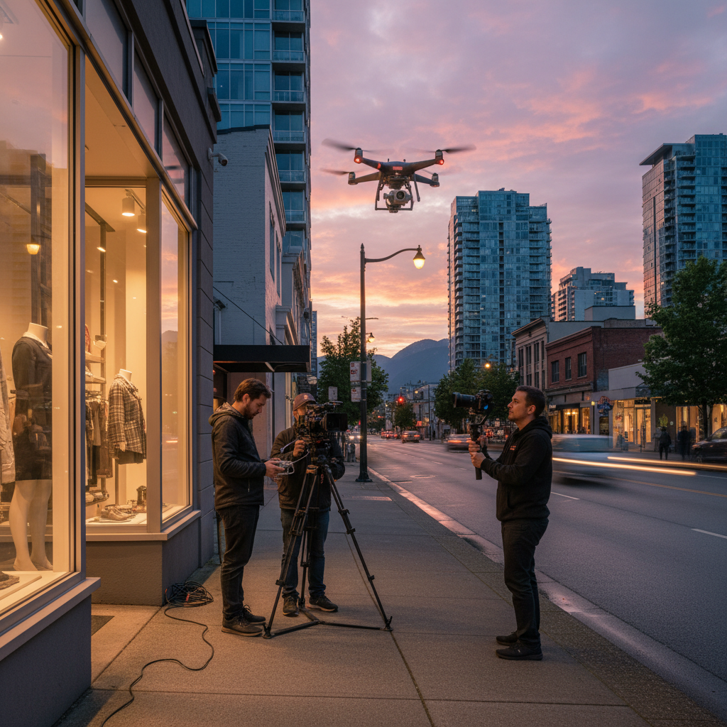
Maple Ridge assignments can combine residential neighborhoods, wooded properties, open land, roads, trails, and changing weather. That variety makes a site-specific plan more useful than a fixed promise about what every flight will include. Confirm access, staging, neighbors, pets, and public movement before selecting the takeoff point.
Silver Valley Studios Inc. serves clients from Maple Ridge across Abbotsford, Mission, Chilliwack, Langley, Surrey, Coquitlam, Burnaby, Richmond, Greater Vancouver, and Vancouver Island. Travel and access should be treated as scope questions, particularly when a project requires a narrow time window, multiple visits, or ferry travel.
Local planning checklist
- Ask the client to identify the property's strongest visual feature before the shoot.
- Confirm a safe staging area and a person responsible for property access.
- Allow time for wind shifts, cloud, rain, and changing light rather than scheduling only the flight duration.
- Plan how neighbors, visitors, pets, and vehicles will be kept outside the operating area.
- Prepare a ground-based alternative if aerial conditions do not remain suitable.
Packaging, Scope, and Pricing Decisions
A useful package makes the buying decision easier without hiding the work involved. Instead of selling an undefined “drone shoot,” describe the purpose, coverage, final formats, delivery timing, usage, travel assumptions, and revision process. Pricing can then reflect the actual production effort.
Variables that affect scope
- Site complexity: Trees, wires, crowds, neighboring activity, restricted access, and multiple takeoff locations.
- Capture requirements: Still photographs, raw clips, finished edits, repeated viewpoints, or several properties.
- Format requirements: Landscape, vertical, square crops, captions, thumbnails, or platform-specific versions.
- Travel: Distance, ferry schedules, parking, access windows, and return visits.
- Post-production: Selection, color matching, music, sound design, graphics, captions, and revisions.
- Risk and contingency: Weather holds, rescheduling, permissions, or an alternative ground production.
Three practical package structures
A context package can focus on a curated aerial still set and a few short clips for a listing. A story package can combine aerials with interiors and a finished property video. A campaign package can include several vertical edits, stills, ground footage, and scheduled or recurring production for a brand.
Do not promise a particular number of leads, saves, showings, or sales as a guaranteed result. Instead, define what the client receives and how the material supports the campaign. If performance measurement matters, agree on the platform, timeframe, baseline, and reporting method before publication.
Finding and Retaining Clients
Marketing a drone photography business is easier when the portfolio is organized around buyer problems. A gallery of unrelated aerial landscapes may demonstrate flying skill but leave a realtor, builder, or restaurant manager unsure what they can commission. Show the brief, the key movement, the final formats, and the role the media played in the larger project.
Build a focused portfolio
Choose a small group of strong projects by niche. For real estate, pair an aerial frame with an interior or floorplan example so the viewer can see how the assets work together. For construction, show repeated viewpoints and the date or phase context. For hospitality, show how an establishing aerial leads into people, food, or an interior experience.
Silver Valley Studios Inc. maintains a portfolio of real estate and commercial visual projects that can help prospective clients understand the broader production approach. A portfolio should be easy to scan, honest about the provider's role, and specific about deliverables.
Use outcome-led messaging
Replace vague claims such as “cinematic drone content” with a concrete use case: show the acreage, explain the approach, document a build phase, introduce a venue, or create a vertical location hook. The language should describe what the client can decide or publish after the shoot.
Make the sales process simple
Ask for the address, property or campaign goal, desired date, deliverables, publishing channels, and any known access constraints. Respond with the proposed scope, assumptions, safety and weather conditions, delivery timing, and next step. A clear intake process demonstrates professionalism before the aircraft leaves the case.
For a coordinated project, invite the client to contact the Maple Ridge studio about a planned shoot. Keep the initial request focused so the team can determine whether aerial coverage, integrated real estate media, or another visual service is the right fit.
Where Aerials Fit in a Real Estate Media Package
Different media formats solve different communication problems. The table below is a planning aid, not a ranking of one format over another.
| Client question | Drone aerial | Interior photos | Property video | 2D floorplan |
|---|---|---|---|---|
| What surrounds the property? | Strong | Limited | Useful | Limited |
| How does the interior look? | Not suitable | Strong | Useful | Limited |
| How are rooms connected? | Limited | Partial | Strong | Strong |
| What is the lot, view, or access context? | Strong | Limited | Useful | Partial |
| What creates a short social hook? | Strong | Partial | Strong | Not suitable |
The right combination depends on the property and the campaign. A modest listing may need only a few well-chosen aerial stills, while a luxury property or development may justify a coordinated set of stills, tours, floorplans, and multiple aspect ratios.
Frequently Asked Questions
What does a drone photography business actually sell?
It sells planned aerial photography and video for a business purpose, along with the planning, safe operation, editing, and delivery needed to make that media useful. The final service may be a small still set, raw clips, a finished video, recurring progress documentation, or an integrated real estate media package.
Do I need a drone pilot certificate for paid aerial work in Canada?
The applicable qualification depends on the aircraft and operation. Paid work is not a reason to skip an assessment of the current Canadian RPAS rules, airspace, aircraft registration, and operating conditions. Check Transport Canada's current guidance for the specific assignment rather than relying on the outdated idea that every business flight automatically requires an SFOC-RPAS.
How many aerial photos or clips should a property package include?
There is no universal number because the answer depends on the property, the strongest selling points, and the channels where the media will be used. A concise, edited set of purposeful stills and several short movements is generally more useful than a large folder of near-duplicates. Define the final deliverables and shot purpose in the scope before capture.
Should aerial photography be bundled with other real estate media?
Often, yes. Aerials explain setting and scale, while interior photos, property video, and floorplans explain condition, movement, and layout. Bundling them can create a more consistent client experience, but the package should still include only the formats that support the listing or campaign.
Build the Business Around a Clear Client Outcome
A successful drone photography business is not built on equipment alone. It combines a defined niche, purposeful shot planning, current RPAS compliance, disciplined safety, consistent editing, and delivery formats that clients can use immediately.
For real estate media in Maple Ridge and across the region, start by identifying what aerial coverage needs to clarify: land, view, access, setting, or progress. Then scope the flight with the other assets required to tell the complete story, and make the next step simple for the client.
Plan Your Next Aerial Assignment
Share the property or campaign goal, location, timing, and desired deliverables with Silver Valley Studios Inc. The team can help determine whether an aerial-only assignment or an integrated real estate media plan best fits the project.