

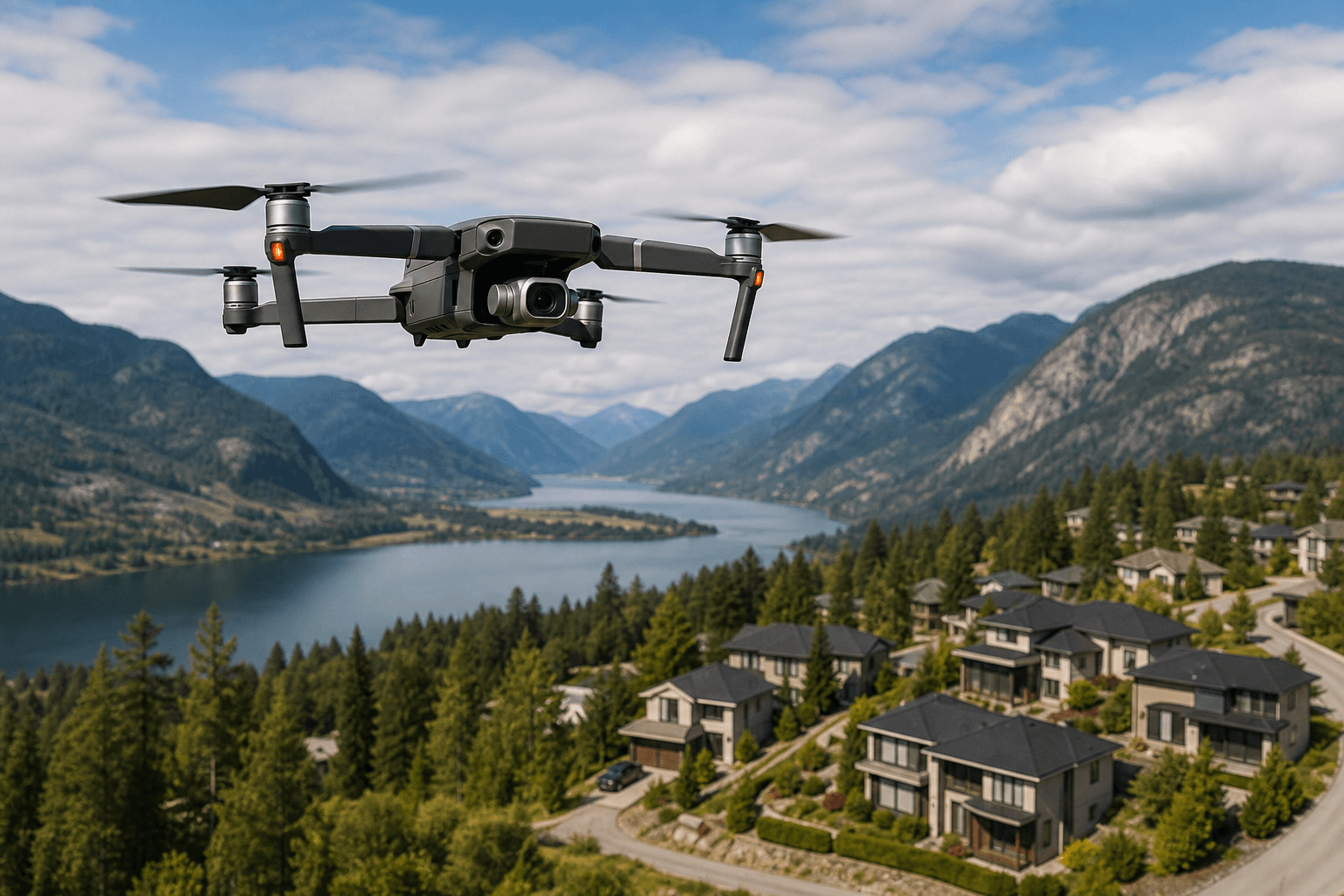
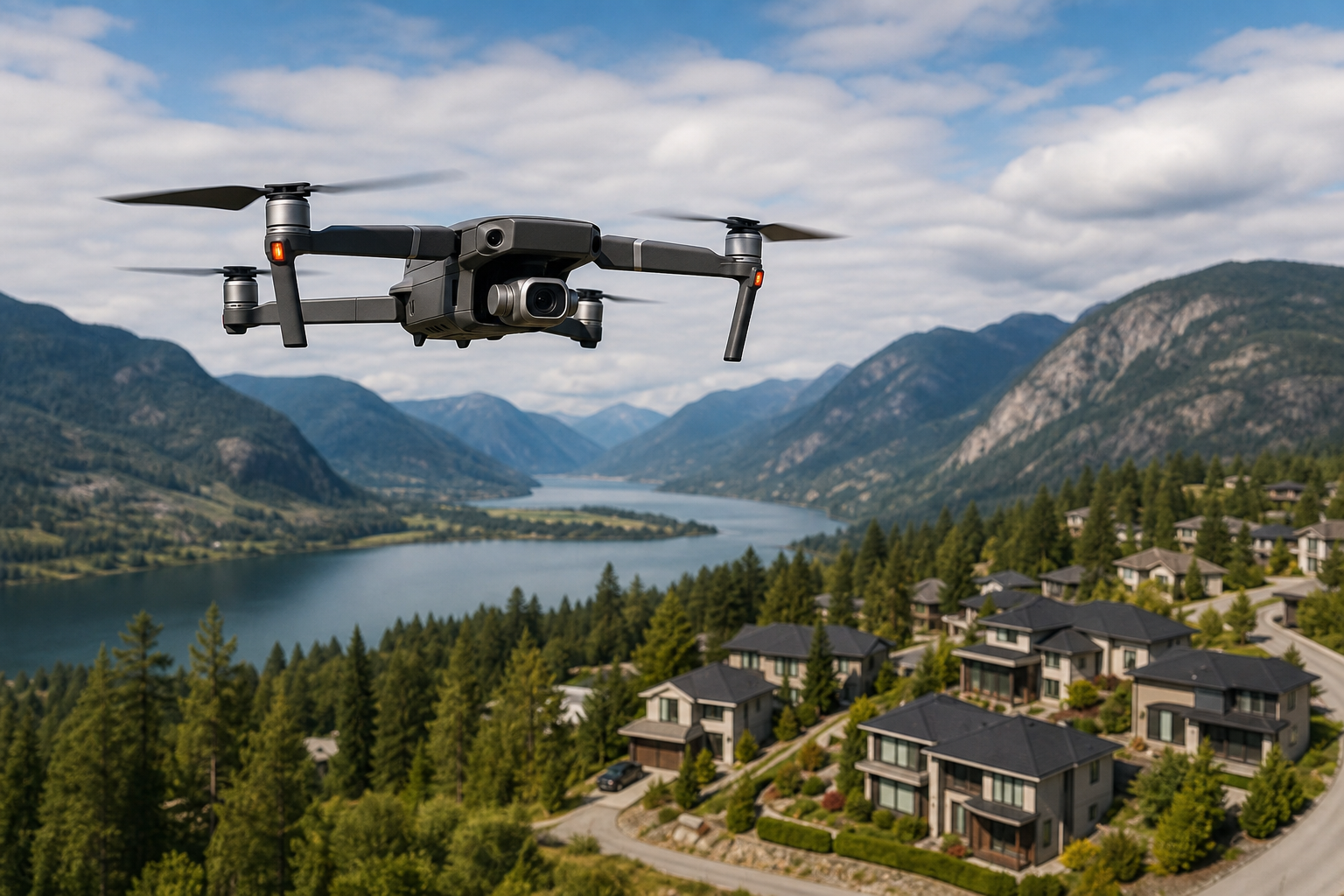
"Drone photography rules BC" describes the federal and local requirements that control when, where, and how drones may be used to capture aerial photos or video in British Columbia. Transport Canada classifies drones as aircraft and requires pilots to follow rules that depend on the drone weight, the operation type, and the airspace where you fly. For agents, property managers, and business owners this affects everyday activities such as aerial listing photos, commercial promo shots, and video tours, because noncompliance can result in fines, cancelled shoots, and liability exposure. For an authoritative overview of the basic legal rules and safety expectations, see Transport Canada: Flying your drone safely and legally.
Who must register a drone and carry a pilot certificate
In Canada drones that weigh 250 g to 25 kg must be registered with Transport Canada and marked with the registration number. The person operating the drone must carry the applicable pilot certificate while flying. Which certificate you need depends on the operation type. Basic operations cover lower risk flights that remain away from people and outside controlled airspace. Advanced operations are required when a flight is near people, inside controlled airspace, or within prescribed distances of aerodromes and heliports.
For real estate and commercial shoots the practical effect is straightforward. If your shoot is in an open rural area with no nearby aerodrome and you can stay well away from bystanders, Basic rules often suffice. If your target property is in a denser urban area, close to an airport, or you must fly over or near people, you will likely need an Advanced operations clearance and a pilot who holds that certificate. Transport Canada explains operation categories and pilot certificates in detail: Drone operation categories and pilot certificates.
Practical registration items
- Register drones that weigh 250 g to 25 kg with Transport Canada before the first flight.
- Mark the drone visibly with its registration number as required by law.
- Confirm the operator carries the Basic or Advanced pilot certificate for the planned operation.
- If operating commercially on behalf of a client, treat Advanced requirements as likely in higher density zones.
How to check a flight site using the Drone Site Selection Tool
The fastest way to identify airspace constraints is the National Research Council Drone Site Selection Tool 2. The tool shows nearby aerodromes, controlled airspace, heliports, and overlays that indicate advisory and no-fly areas. Search by address or drop a pin, then review the layers that affect permitted altitude, proximity limits, and whether an Advanced clearance is required. Use the official tool here: Drone Site Selection Tool 2.
Before you schedule a shoot, perform these actions with the tool
- Enter the property address or coordinates and note any nearby aerodrome, heliport, or controlled airspace markers.
- Record the maximum permitted altitude and any advisory or restricted zones shown on the map.
- If the tool flags controlled airspace, plan to fly only under an Advanced operations clearance or hire a pilot who already holds the required approval.
- Save or screenshot the map output and include it in your shoot plan for client records and municipal queries.
Local considerations for Maple Ridge, Greater Vancouver and Vancouver Island
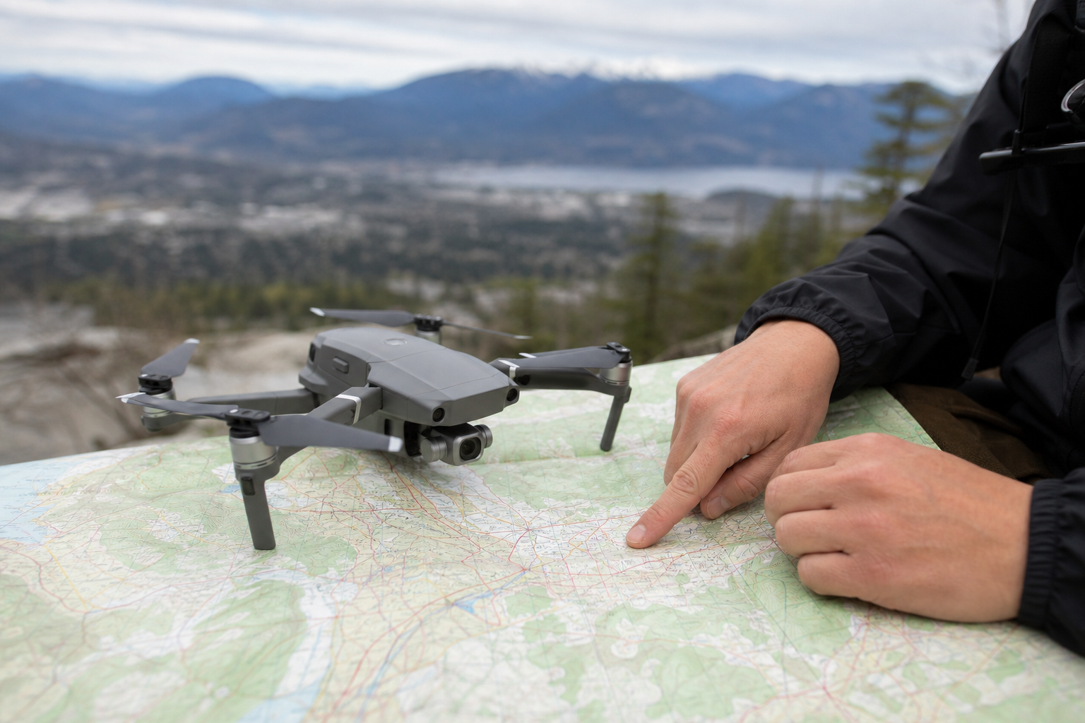
Transport Canada rules apply province wide, but municipal and provincial rules add extra steps. Many municipalities require film or production permits when a shoot will use extended equipment, restrict public right of way, or involve commercial filming. Parks and protected areas often limit drone use or forbid flights that could interfere with wildlife or emergency response. In wildfire season do not fly near active fires or response zones because emergency crews require airspace to operate safely. Check municipality film permit processes and park rules before you book a shoot, and treat emergency scenes as absolute no-fly areas.
Example scenarios to watch for:
- An urban condo in Greater Vancouver near a heliport or airport may sit inside controlled airspace, triggering Advanced requirements and additional approvals.
- A rural property bordering a provincial park or protected shoreline could be subject to park restrictions or seasonal limits on aircraft overflights.
- Shoots close to busy roads or public parks require additional neighbour communication and may need municipal permits if you position crew or equipment in public space.
A short preflight checklist you can use right away
Use this ordered checklist the next time you schedule aerial media for a listing or commercial property.
- Registration and marking: confirm the drone is registered with Transport Canada if it weighs 250 g to 25 kg and that the registration number is visible on the aircraft.
- Pilot certificate: verify the operator holds the Basic or Advanced certificate required for the location, and request proof before the shoot. See Transport Canada for certificate details: Learn the rules before you fly your drone.
- Site selection: run the Drone Site Selection Tool for the property address and note any controlled airspace, aerodrome proximity, or altitude limits: Drone Site Selection Tool 2.
- Local permits and permissions: check municipal film or production permit requirements and obtain any planned street or public space permissions needed for crew or equipment.
- Emergency and wildfire checks: confirm the site is not near an active emergency scene or wildfire response area and postpone flights if responders are active in the vicinity.
- Privacy and trespass: obtain consent when filming identifiable people or private property from altitudes that capture private spaces, and document permissions in writing.
- Insurance and liability: confirm the operator carries commercial liability insurance appropriate for the shoot, and ensure the policy covers third party property damage and personal injury.
- Day of safety: perform a preflight inspection of the drone, brief on-site staff and neighbours on the flight plan, maintain visual line of sight, and be prepared to land immediately if conditions change.
When to hire a professional drone operator instead of DIY
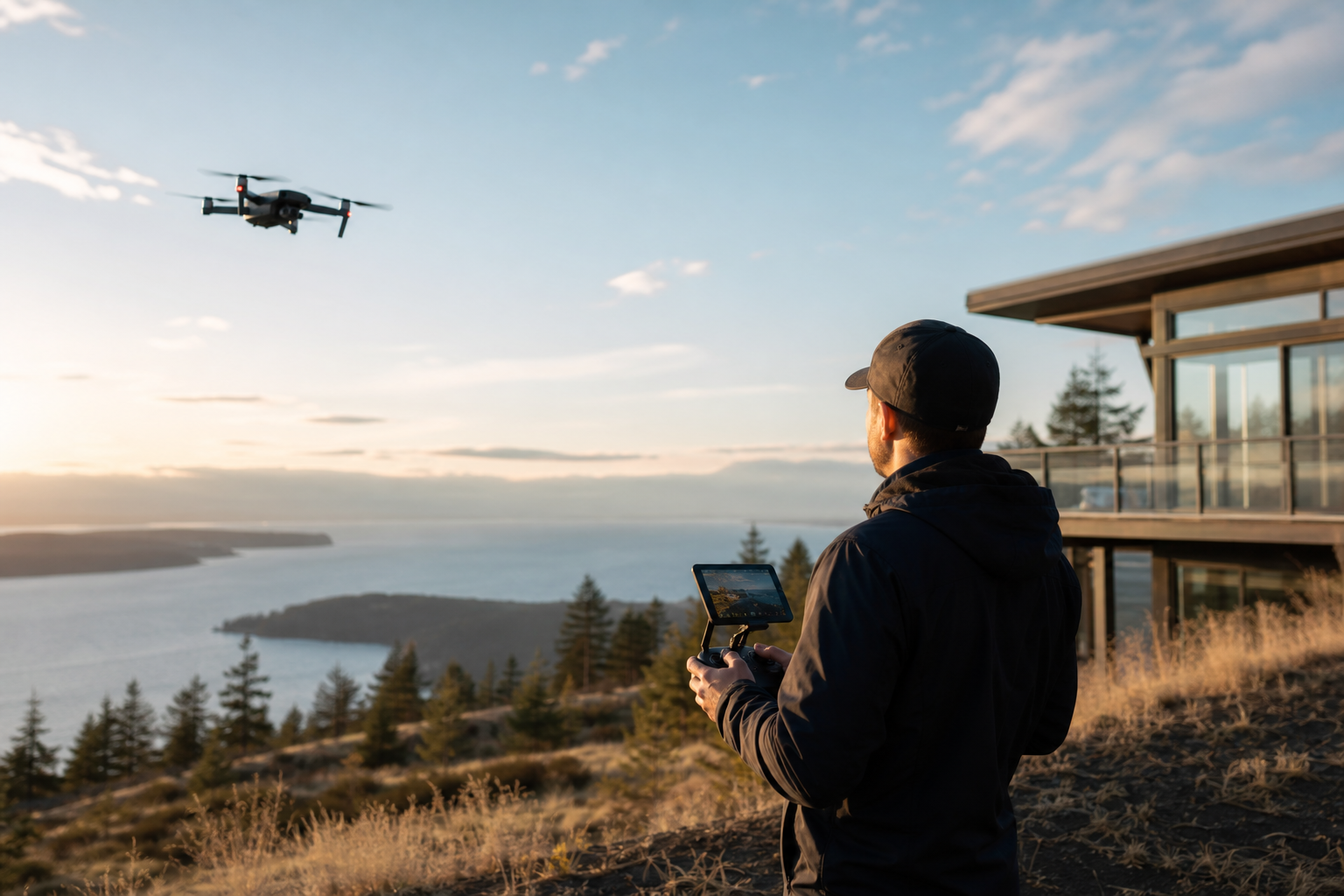
There are many situations where hiring an experienced, certified operator is the safer and faster option. Choose a professional when any of the following apply:
- The property is close to an aerodrome, heliport, or inside controlled airspace and Advanced operations are required.
- The shoot involves flying near groups of people, apartment complexes, or public events where risk and liability are higher.
- Complex cinematic shots, repeatable branded content, or multi-operator flights are needed to achieve consistent quality across listings.
- Time, approvals, or logistic complexity favour a team that can manage permits, neighbour communications, and the site check efficiently.
A reputable operator should be prepared to show their pilot certificate, proof of drone registration, and current insurance. They should describe how they used the Drone Site Selection Tool to plan the flight and which Transport Canada category applies. For studios that combine compliant drone work with listing photography and video, see the studio guide: Drone Business Guide: Get More Clients in 2026 Fast, and for service details contact Silver Valley Studios: Silver Valley Studios Inc..
Common objections and decision criteria
Agents and business owners often raise similar concerns when considering drone footage. Below are brief responses and decision criteria that help choose between DIY and hiring a professional.
Objection: It is too expensive or slow
Response: Compare the fee to the marketing value and the time saved. If Advanced approvals are required, DIY can become slower and riskier than booking a certified operator who already understands approvals and airspace.
Objection: I do not want neighbours complaining
Response: Communicate the plan in advance. A licensed operator will run a site check and provide neighbours with a clear schedule and safety assurances. That reduces complaints and protects your shoot timeline.
Decision criteria for hiring a pro
- Proximity to aerodromes or controlled airspace requires Advanced operations and professional oversight.
- Flights near people, events, or sensitive locations justify engaging a certified operator with insurance.
- When you need repeatable, cinematic results across multiple properties, a specialist studio ensures consistent quality and compliance.
FAQ
Do I need to register my drone and carry a pilot certificate for real estate photos in BC
Yes. Drones weighing between 250 g and 25 kg must be registered with Transport Canada and marked. The person operating the drone must carry the applicable pilot certificate when flying. See Transport Canada for registration and certificate details: Learn the rules before you fly your drone.
What is the difference between Basic and Advanced operations and which applies to my listing shoot
Basic operations are for lower risk flights that stay away from people and outside controlled airspace. Advanced operations are required when you fly near people, inside controlled airspace, or within specified distances of aerodromes and heliports. Use the Drone Site Selection Tool to see whether your planned location will trigger Advanced requirements, and consult Transport Canada for the operation categories: Drone operation categories and pilot certificates.
How close to an airport or heliport can I legally fly a drone in BC
Allowed distances depend on the airspace class and the presence of controlled aerodromes. The Drone Site Selection Tool will show nearby aerodromes and controlled airspace for your planned location. If the map indicates controlled airspace, you must meet Advanced requirements or obtain specific approval before flying: Drone Site Selection Tool 2.
Can I fly over a private property for listing photos without consent
Transport Canada rules address safety and airspace, not civil privacy or trespass. Provincial and municipal rules govern privacy and property rights. To avoid disputes obtain the owner’s permission when possible and document any consent in writing.
Where do I check whether a planned flight location is inside controlled airspace
Use the National Research Council Drone Site Selection Tool 2 to review controlled airspace, aerodromes, and heliports for your planned location. The tool indicates when Advanced operations or additional approvals are necessary: Drone Site Selection Tool 2.
Key takeaway: follow Transport Canada rules for registration and pilot certificates, use the NRC site tool to confirm site suitability, check municipal and park rules, avoid emergency scenes, and hire a professional when Advanced operations, complex logistics, or commercial liability require it. For compliant drone coverage included in a listing or commercial media package, contact Silver Valley Studios Inc. to discuss services and availability: Silver Valley Studios Inc..